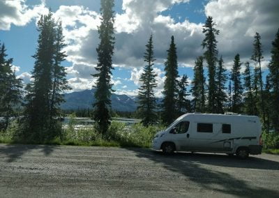
Tok Cutoff Highwhay
Mile by Mile Road Log
Gakona Junction to Tok – 125 miles
The mileposts along the Tok Cutoff indicate the distance from the Gakona Junction. Gakona Junction is mile zero and Tok is mile 125. The highway is paved and well-maintained and offers scenic backcountry views. The junction with Nabesna Road is at mile 60. The Slana Ranger Station has visitor information at the start of this 42-mile gravel road into Wrangell-St. Elias National Park. The Mentasta Summit (2,434 feet) is at mile 79.4.
Mile 0: Junction with Richardson Highway at Gakona Junction.
Mile 0.5: Gakona Brewing Company.
Mile 1: Scenic viewpoint of the Copper River and Wrangell Mountain Range.
Mile 1.7: Gakona River bridge.

Gakona Alaska RV Park & Cabins
Mile 2.6: Population: 148.
Gakona is an Athabascan word for “Rabbit River”. Post office.
Mile 2.9: New Skies Scenic Rafting & Fishing.
Mile 3: River View B&B.
Mile 4.25: Gakona Alaska RV Park & Cabins – Closed
Mile 4.7: Snowshoe Haven Cabins.
Mile 6.1: Parking Area.
Mile 9.3: Parking Area.
Mile 11.1: High-frequency Active Auroral Research Program operated by University of Fairbanks.
Mile 12.9: Parking Area.
Mile 17.5: Tulsona Creek.
Mile 23.7: Rest area. Walking trail provides access to Copper River.
Mile 27.5: Parking Area.
Mile 29.4: Parking area on both side of the highway.
Mile 30.7: Parking area.
Mile 32.7: Red Eagle Lodge.
Mile 32.8: Population: 91.
Mile 34.5: Sinona Creek Bridge.
Mile 34.6: Posty’s Sinona Creek Trading Post.
Mile 35.3: Chistochina River Bridge. Access to Chistochina River Trail. Rest area.
Mile 38.5: Parking area.
Mile 39.9: Parking area.
Mile 43.5: Indian River rest area and bridge.
Mile 53: Grizzly Lake Campground.
Mile 54.7: Parking area.
Mile 56: Parking area.
Mile 59.4: Junction with Nabesna Road, a scenic 42-mile long gravel road into Wrangell-St. Elias National Park.
Nabesna Road, Mile 1: Population: 130.
Mile 60.3: Ahtel Creek.
Mile 60.4: Midway Service & Campground.
Mile 62.2: Parking pullout with viewpoint.
Mile 63: Mt. Sanford viewpoint.
Mile 64.2: Porcupine Creek State Recreation Site. Picnic and Campsites.
Mile 74: Slana River rest area.
Mile 78.1: Mentasta Lodge.
Mile 79.4: Mentasta Summit, 2,434 ft.
Mile 98.5: Log Cabin Wilderness Lodge.
Mile 109.5: Eagle Trail State Recreation Site and campground.
Mile 116.6: Tanana Valley rest area.
Mile 122.8: Sourdough Campground.
Mile 124.3: Golden Bear Motel & RV Park – permanently closed.
Mile 125: Population: 1,223.


